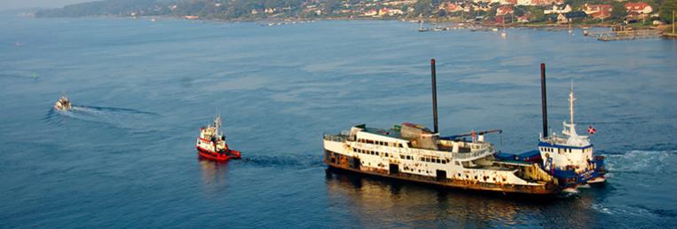
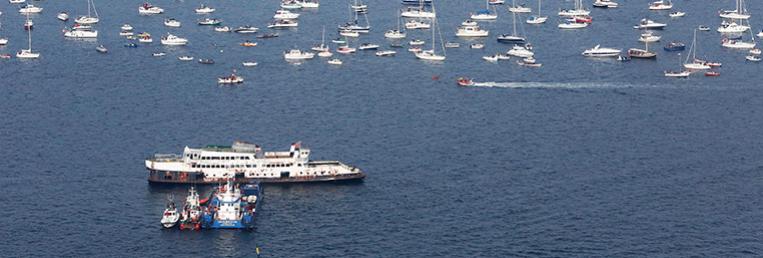
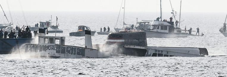
About Dive Spot M/F ÆrøsundThe M/F Ærøsund ferry is a relatively young shipwreck. It sunk in October 2014 following a controlled scuttling, and has now become the setting of one of the most interesting artificial reefs in Denmark. Prior to its scuttling, the ferry was decontaminated and made safe for diving, and even the flora and the fauna of the ocean have made themselves at home in this new feature of the seabed.
The wreck is situated approximately 19 meters below the surface of the water in the Ringsgård Basin about 550 meters off the coast, near the village of Ballen on Funen. The top of the wreck (the funnel) is only 6 meters below the surface, making it an interesting spot for free divers as well as scuba divers.
The M/F Ærøsund ferry was Denmark’s last train ferry, operating between Svendborg and Ærøskøbing from 1960 to 1999. She was designed by Knud E. Hansen, and built at Husumer Schiffswerft in Germany. Back in 1960 when the ferry was built, she represented the pinnacle of modernity. She was the first Danish ferry to provide her passengers with access to television whilst on board – and both Danish and German programmes at that! Another new feature of the ferry was her ability to berth both from the stern and the bow meaning that car drivers were no longer required to reverse when boarding the ferry.
The ferry is a very important part of the cultural history of the area. During her many years of operation, the ferry became synonymous with the South-of-Funen Archipelago, and quickly became an icon for the area.
If you want to explore the M/F Ærøsund and her surroundings by way of diving, the boat ramp at Rantzausminde Marina can serve as your starting point. When you arrive at the diving spot, you may anchor your boat to the two yellow anchor buoys attached to the stern and the bow of the wreck.
Download PDF with info on Access Point / Boat ramp, driving instructions etc.
Download PDF with a map of Dive Spot M/F Ærøsund >
For inspiration for accomodation and trips see Trips |